
The functionality of our website is currently limited - reload the page if this message is still displayed after a few seconds.
Research Scientist (f_m_x) for GRACE-FO Level-1 Software Development
GFZ Helmholtz-Zentrum für Geoforschung

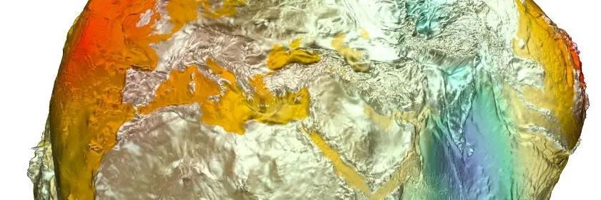
GFZ is Germany's national centre for solid Earth research. We advance the understanding of dynamic processes to address global challenges, from mitigating the impacts of natural hazards and sustaining our habitat amid global change to responsibly managing georesources. We are part of the Helmholtz Association, the largest German scientific organisation. With around 1,200 employees as well as ca. 500 guest researchers, we contribute to the Helmholtz Research Field Earth and Environment, aligning cutting-edge research with societal relevance and international collaboration. Our work integrates multidisciplinary studies across Earth's system components, leveraging advanced technologies and infrastructure to research solutions and to transfer our knowledge to society. We are doing this according to our vision: “Taking the pulse of our Earth to safeguard a habitable planet”.
As a partner of Geo.X, the GFZ has access to an excellent network of other geoscience institutions in Potsdam and Berlin. This largest regional concentration of geoscientific competence in Europe offers first-class cooperation and development opportunities.
In section 1.2 Global Geomonitoring and Gravity Field (Department „Geodesy“), we are looking for two positions:
Research Scientist (f_m_x) for GRACE-FO Level‑1 Software Development
Reference Number 10837
– The position is subject to funding approval – GFZ is part of the US–German GRACE Follow-On Science Data System. We run the Ny-Ålesund ground station to ingest Level‑0 raw satellite data and generate the Level-1B correction model for short-term atmospheric and oceanic mass variations. Like our US partners Jet Propulsion Laboratory (JPL) and Center for Space Research (CSR), we compute monthly Level‑2 gravity fields (spherical-harmonic coefficients) and deliver fully corrected, gridded Level‑3 mass-transport products to national and international users. At present, JPL exclusively produces the fully corrected Level‑1B instrument data (e.g., GPS time tagging, atmospheric/instrument corrections, outlier handling, down-sampling from Level‑1A) used as inputs to Level‑2. To build a full backup for GRACE-FO, GFZ is developing its own Level‑1A/Level‑1B processing software and is looking for two versatile and motivated research scientists with strong programming skills and a solid background in physical geodesy and satellite instrumentation. As part of the GFZ GRACE-FO SDS team, you will design, implement, and validate L1A/L1B processing chains and collaborate across a multidisciplinary team. Join us in this mission. We are looking for people with substantial experience, proven independence, and a track record in scientific programming and satellite-geodesy data processing, ideally at the postdoctoral level or with equivalent professional experience. Either a postdoctoral scientist or a research scientist can fill the position. Please see the specified qualifications below. Your responsibilities:- Perform precise orbit determination using GFZ´s inhouse developed EPOS (Earth Parameter and Orbit System) software to derive correct time tagging products (CLK1B) meeting GRACE-FO project requirements
- Develop software to derive Level-1B products for the main GRACE-FO instruments (GPS, K‑band ranging [KBR]/Laser ranging interferometer [LRI], star cameras, and accelerometer) from existing Level-1A data using modern programming standards, based on existing Level-1 documentation provided by the GRACE-FO project
- Implement and document numerical algorithms for calibration, synchronisation, and data transformation in a modular, traceable workflow
- Validate Level-1B outputs, including spectral and statistical quality assessments and comparison against Level‑1B products generated by JPL
- Integrate and verify results using GRACE-FO Level‑2 analyses in collaboration with other SDS team members
- Maintain clear documentation, version control, and reproducible build environments using HPC module systems (Lua-based Lmod).
- Support progress reporting and software delivery within the project framework
 Your qualifications:
- Master`s degree (or equivalent) in Geodesy, Physics, Mathematics, Computer Science, or a related discipline
- PhD or equivalent professional experience, demonstrating the ability to work independently on complex scientific software, would be appreciated, but is not mandatory
- Proven programming experience in at least one compiled language (e.g., C++) and Python, with the ability to read and extend existing Fortran codebases
- Familiarity with numerical methods, data handling, and instrument modelling (ideally related to GPS, KBR/LRI, star camera, and accelerometer data)
- Understanding of coordinate systems and transformations (ITRF, ECI/GCRS, RTN) and of how satellite instrument data quality propagates to resulting science products
- Experience with Linux and HPC environments and module-based workflows; knowledge of Lua module files is desirable
- Good command of English (written and spoken) and at least a basic understanding of German to follow internal discussions and documentation
- Strong sense of responsibility, initiative, and ability to collaborate in a multidisciplinary team
- Strong ability to work both autonomously and as part of a team
What we offer:
- Ambitious and varied tasks in a dynamic and international research environment
- State-of-the-art equipment
- Public service benefits
- Extensive training opportunities
- Professional career advice offered by our in-house Career-Centre
- Flexible working hours and conditions
- Support with finding a good work-life balance offered by benefit@work
Additional actions
Receive similar jobs by e-mail?
Subscribe to our job mail!
Similar Jobs
Karlsruher Institut für Technologie (KIT)
Helmholtz Centre for Infection Research (HZI)
Helmholtz-Zentrum für Infektionsforschung GmbH (HZI)